Rachel Carson Trail
46 Miles
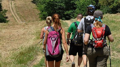
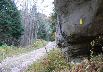
A day hiking trail in the northeast quadrant of Allegheny County, connecting township and county parks including North Park, Emmerling Park, Agan Park, and Harrison Hills Park.

Baker Trail
134 Miles
A hiking and backpacking trail connecting Pittsburgh and various Western Pennsylvania parks, including Crooked Creek, Mahoning Lake, and Cook Forest.

Harmony Trail
1 Mile
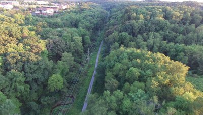
A walking trail west of Route 19 in Wexford along a section of the former Harmony trolley line.
Overview Map
The map below shows the location of the Baker Trail, the Rachel Carson Trail, and the Harmony Trail.